
Full Name: SA Drought Resilience and Innovation Hub
Funding Body: Future Drought Fund Drought Resilience Adoption and Innovation Hubs Program
Delivered in partnership with: Adelaide University and the South Australian Research and Development Institution (SARDI)
- Ag Tech Toolbox
Full Name: Utilising satellite imagery in the growing season to inform adaptive management
Aim: Development of a workshop and fact sheet that improve the understanding, knowledge and skills of farmers and advisors in the Upper North in utilising satellite imagery to inform in-growing season decision making in both cropping and grazing enterprises.
Description:
The project will be broken down into 3 components:
-
-
-
- Development and delivery of 1 workshop in 2 locations in the Upper North. Locations will be determined by the project delivery team. Each workshop will be aimed at 10-20 local producers/advisors.
- Development of 4 case studies from the region looking at both cropping and grazing enterprises and utilising satellite imagery to inform adaptive management in the growing season.
- Development of a fact sheet outlining effective use of readily available satellite imagery to inform decision making in the growing season. The fact sheet will incorporate the key principals of the workshop and the 4 case studies to provide a resource for distribution across the region and other drought nodes where appropriate. Fact sheet distributed to 160 UNFS members, uploaded on UNFS website for all to access, circulated on social media (>10,000 followers).
-
-
Contact: Jess Koch, 0407 986 558
- Intercropping
Full Name: Intercropping in Break Crops in the Upper North – In-crop decision making and the impacts on profitability and soil function.
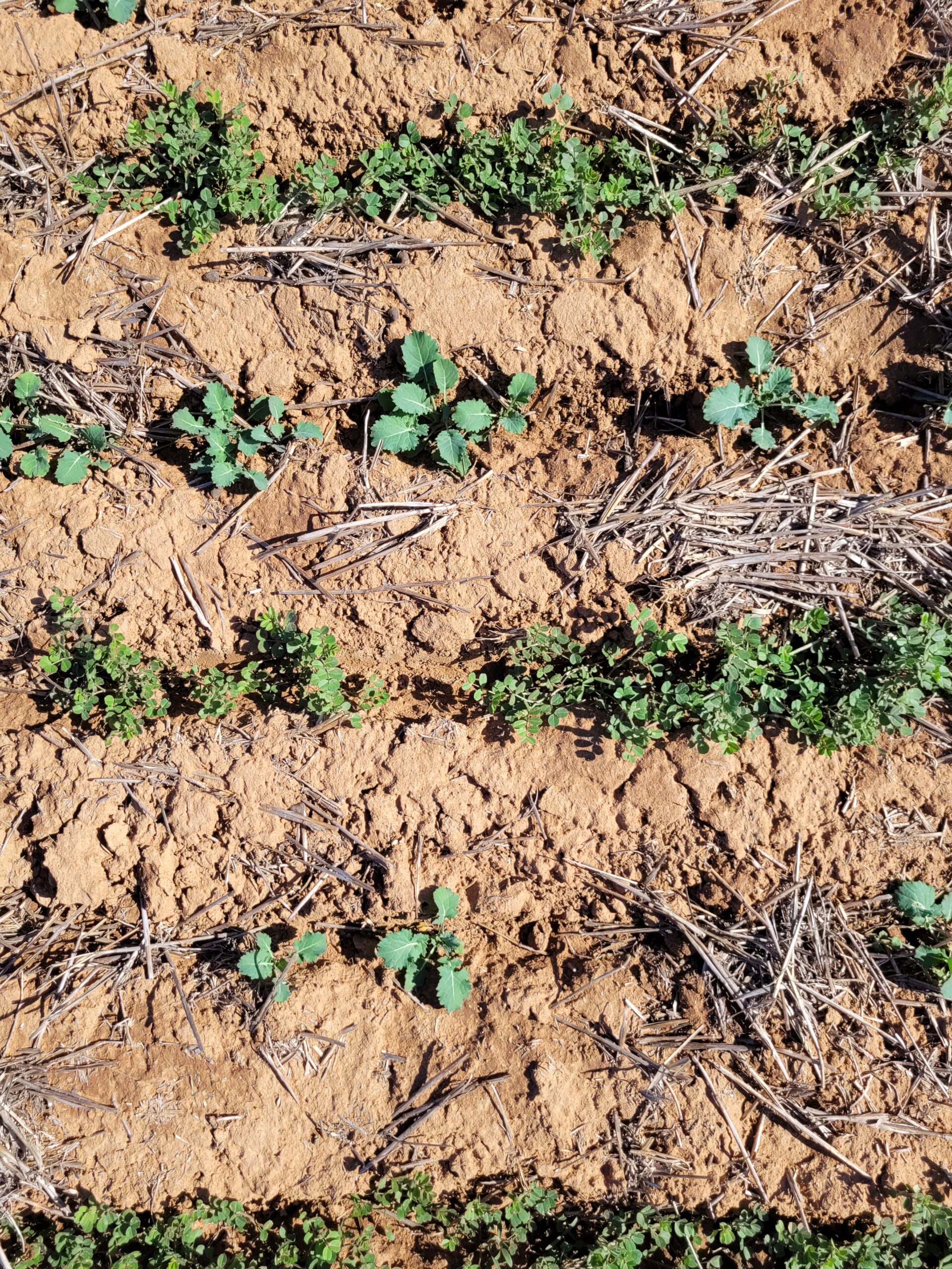
Aim: Demonstrate the use of a canola/vetch intercrop combination as the break crop in a wheat/break rotation in the Upper North of SA and reviewing the different in-crop management decisions and their impact on profitability of the rotation and soil condition including biology, chemistry and physical parameters.
Replicated trial sites are established within a 50km radius of Booleroo Centre. 10 x treatments utilizing vetch and canola as the break crop in a wheat production rotation. Increasing complexity of the break crop from vetch pasture to a dual species vetch and canola inter- crop will increase profitability of rotations and reduce the risk by providing multi-end use options to adapt & respond to climatic variations. Assessment & analysis will incorporate a Risk and Cost Benefit Analysis of the different treatments. A review of benefit to the grazing enterprise through biomass and feed-quality analysis, and soil condition and it’s impact on the following wheat crop.
The trial will be completed over 12 months though ideally 2 years to review plot yields in the 2023 growing season. Extension involves 3 trial site visits, inclusion in the UNFS newsletter x 1, publication of trial results in the 2023 UNFS compendium available on the website & the final report which will be available for circulation by all delivery partners to their networks.
Contact: Penny Roberts, 0436 678 982
- Pasture Management
Full Name: Ground truthing satellite imagery for use in pasture management and assessing its role in adaptive management of grazing systems in the Upper North of SA
Aim:
-
- To compare biomass and feed quality sampling with zones established by various satellite imagery platforms in different pasture types/complexities in the Upper North.
- Increase awareness of land managers in the Upper North to the tools available for monitoring pasture quality and quantity and improve adaptive management to climatic conditions.
- Increase awareness of land managers in the Upper North of the value in appropriate grazing periods, intensity, and spelling to maximise pasture biomass production and maintain soil cover once growing season ends.
- Up skill land managers in the Upper North in the tools for measuring biomass/feed quality in the paddock.
Description: Utilising 3 sown pasture demonstration sites (paired sites = 3 single species pastures and 3 dual/mixed species pastures) established under an MLA PDS program and 3 self-regenerating pastures to quantify biomass and feed quality and compare this with zones and measures from satellite imagery platforms incl. FarmMaps4D and Pasture Key to ground truth remote sensing for pasture management in the Upper North.
Extension: Extend the trial outcomes and benefits of improving pasture management practices to the graziers of the low-medium rainfall zones of the Upper North through a series of 3 crop walks, 1 technical workshop and a case study. Demonstrations and extension work will all be completed in 2022.
Contact: Morgan McCallum, 0459 718 181